This county was first settled in 1874, by a buffalo hunter, who located on Section 30, Township 6, Range 28.
Population. - The population is estimated at 200.
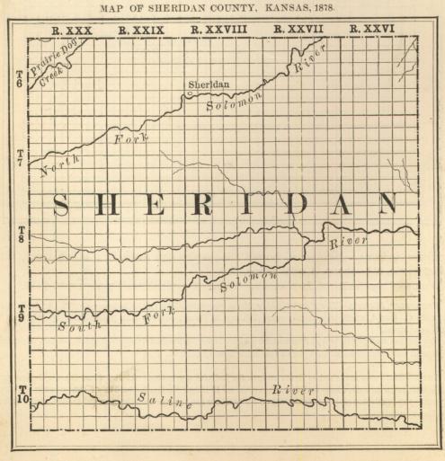
Topography. - Between the streams are immense stretches of prairie, but gently rolling. The average width of the bottoms is one mile.
Timber. - The streams are skirted with timber.
Principal Streams. - North and South Fork of the Solomon river, Saline river and Sand creek. A good water power is said to be on the north fork of the Solomon, but not utilized. Springs are plentiful, and good water can be obtained at a depth of 30 feet.
Building Stone. - There is building stone in abundance, which consists principally of magnesian limestone.
Agricultural Statistics. - No data of agricultural statistics. There are 576,000 acres in the county. Buffalo grass prevails, the tame grasses, nor even the ordinary prairie grasses of Eastern Kansas, not yet having made their appearance.
Lands. - Most of the lands of this county still belong to Government. About April 10, 1878, Capt. G. C. West located thirty-two quarter sections of school lands in this county. Eight of these are north of Prairie Dog creek, in the northwest corner of the county, and the balance along the North fork of the Solomon.
Farm Animals. - Horses, 200; mules, 50; milch cows, 100; other cattle, 5,000 - inclusive of those temporarily herded in the county; swine, 50.
Schools. - There is one school house in the county.
Churches. - One church is reported, but denomination not given.
![]()
